GIS, UAV & Survey Services

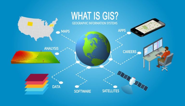
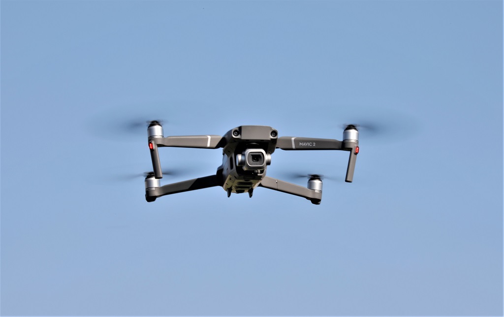
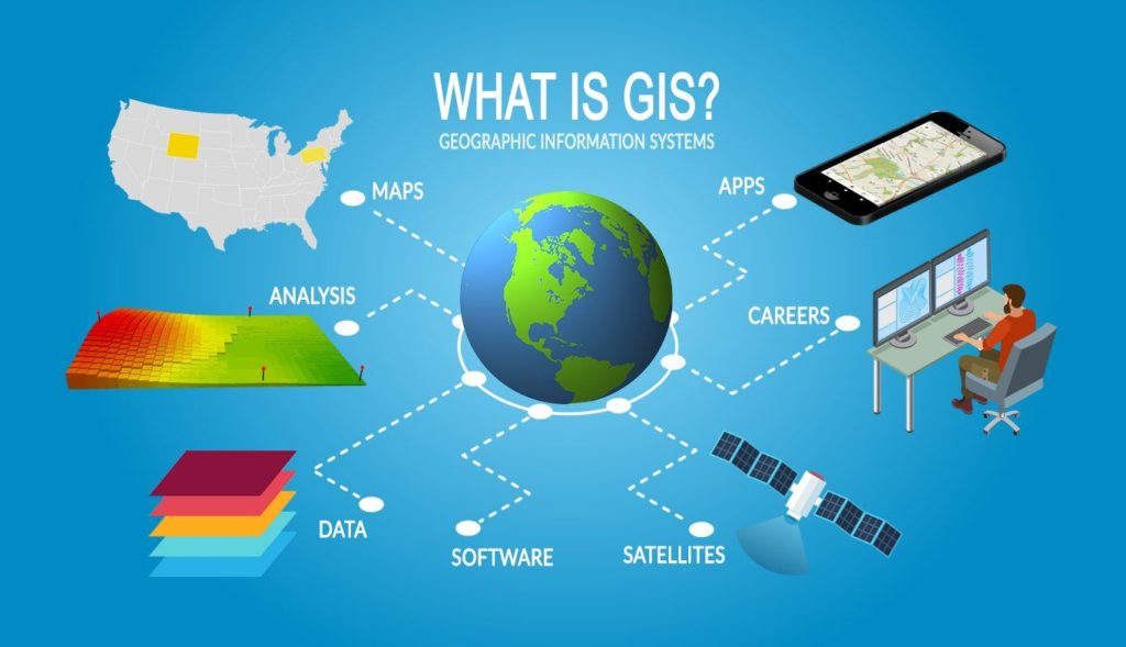
BPNL is a leading provider of unmanned aerial vehicle (UAV or drones), geographic information systems (GIS) and survey services to clients in Nigeria.  We are one of the few companies licensed by the Nigerian Civil Aviation Authority (NCAA) and security cleared by the Office of the National Security Adviser (ONSA) to provide commercial UAV services.  Our GIS, UAV and Survey practice provides solutions in the following areas;

Our GIS service is based on the use of remote sensing, digital imaging and geospatial data to enable effective business decision making.  We are able to acquire geospatial data from various sources using various acquisition techniques, convert/aggregate this data and present the data to our clients in various formats such as 3D visualisations, dashboards, reports, infographics, charts, etc that allows for easy access and analysis.

Unmanned aerial vehicles (drones) provide cost effective, time saving, high quality outputs whilst removing risk to personnel compared to traditional methods for activities such as surveillance, inspections or surveying.

BPNL has in-depth knowledge of UAV operations and is able to deploy drones to conduct aerial surveys as well as close visual and thermal inspections of dangerous, high, live or difficult to reach structures and facilities that are expensive or impossible to inspect by manned teams, helping clients assess the condition of their assets and allowing them to make evidence-based decisions. 

BPNL is able to provide advanced survey and positioning services to our clients.  Leveraging our expertise in the oil and gas subsea space, we are able to deploy advanced remotely controlled equipment such as remotely operated vehicles (ROVs), autonomous underwater vehicles (AUVs) and unmanned aerial vehicles (UAVs) as well as traditional terrestrial survey equipment and ground control points (GCPs) to deliver highly accurate (millimetre level accuracy) survey projects.